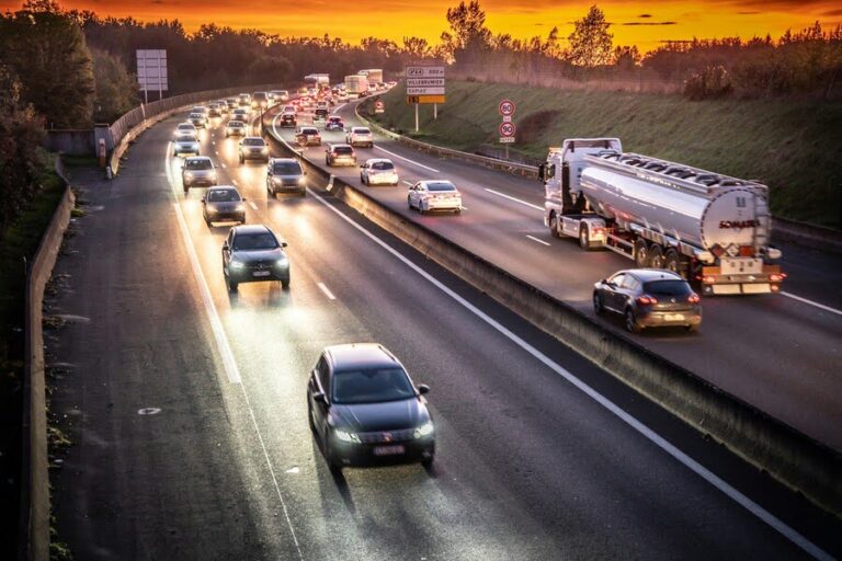


Roadway trends are shifting as cities grow and traffic patterns change across the region. It is easy to ignore the risks of a daily commute when you drive the same route every morning for years. Most people assume they are safe just because they know the neighborhood and the turns.
Reality often tells a different story once you look at the hard numbers provided by city planners and local law enforcement. These figures reveal that certain behaviors and specific locations are much more hazardous than they seem to the naked eye. Relying on gut feeling alone is not enough to stay safe on the asphalt.
Looking at the latest traffic accident statistics helps clarify where the true dangers lie on our local streets. These numbers provide a clearer picture of how speed and volume contribute to daily chaos and unexpected collisions. Using this data is the first step toward making smarter decisions behind the steering wheel.
The Most Dangerous Times for Daily Travel
Time of day plays a massive role in how likely you are to encounter a problem on the city streets. The morning rush is hectic, but the evening transition often carries a much higher risk for serious collisions and injuries. Drivers are tired after work and the light starts to fade very quickly.
Visibility drops significantly during the dusk hours when the sun is low on the horizon for many motorists. This specific window of time creates long shadows that can hide smaller vehicles or pedestrians crossing at a busy corner. It is a period where many people are rushing to get home to their families.
Late night travel also introduces unique hazards that do not exist during the sunlit hours of the standard day. Lower traffic volume often leads to much higher speeds, which makes every impact more severe for the occupants. Staying alert during these transitions is vital for safety when moving through the dark.
High Risk Hotspots and Intersection Design
Certain intersections in the city act as magnets for trouble due to poor design or confusing signage for drivers. These hotspots often see a high volume of left turn collisions where motorists misjudge the speed of oncoming cars. It only takes a second of confusion to create a major roadside incident.
High speed stretches of road that lead into residential areas are another common area for clusters of crashes. When the environment changes from a freeway to a neighborhood street, many people fail to adjust their velocity quickly enough. This mismatch in speed creates a dangerous environment for both cars and local pedestrians.
City planners use this information to decide where to install new lights or adjust the timing of current signals. Improving the layout of a known trouble spot can reduce the frequency of events by a significant margin. Avoiding these known clusters is a smart way to plan a much safer route.
The Human Factor in Freeway Incidents
Demographic data reveals interesting patterns about who is involved in high velocity incidents on the major local freeways. Young drivers often lack the experience to handle sudden changes in traffic flow at seventy miles per hour. Their reaction times are fast, but their judgment is still developing on the road.
Older motorists face different challenges, such as reduced peripheral vision or slower physical responses during a sudden crisis. While they tend to follow the rules more closely, they can be overwhelmed by aggressive behavior from other people. Every age group has a specific risk profile that changes how they drive.
Professional haulers also represent a significant portion of the data due to the long hours they spend working. Fatigue is a constant threat for those who make their living behind a wheel all day and night. Recognizing these human factors helps officials create better safety protocols for every person on the lane.
How Weather and Seasonality Shift Risk
Seasonality affects the frequency and type of crashes we see throughout the entire calendar year for the city. Winter months often bring slick surfaces that reduce the grip of tires on the cold and wet pavement. Even a light mist can turn a standard road into a dangerous skating rink.
Summer travel increases the volume of cars on the highway as families head out for long needed vacations. More people on the road means more opportunities for a mistake to happen during a very long trip. Heat can also lead to tire blowouts and mechanical failures at high speeds today.
Weather patterns change the way drivers interact with their surroundings and each other on the open lane. Heavy rain reduces visibility and increases the distance needed to come to a full and safe stop. Adapting your style to the current climate is a mandatory skill for any safe driver.
Making Safer Choices Through Data Awareness
Awareness of these data driven risks is the best defense anyone has against the chaos of the modern road. By recognizing the danger zones and the hazardous times of day, you can adjust your plans accordingly. It is about being proactive rather than just reacting to trouble when it finally starts.
Small changes in your routine can lead to a much safer experience during your daily commute to work. Perhaps you take a different route to avoid a known hotspot or leave earlier to beat the rush. These decisions are powered by the facts found in local reports and shared stats.
Ultimately, the goal is to make sure every trip ends safely at your intended destination for the day. Using information to guide your behavior is a sign of a truly responsible and smart driver. Staying informed is the most effective way to protect yourself and those you love now.